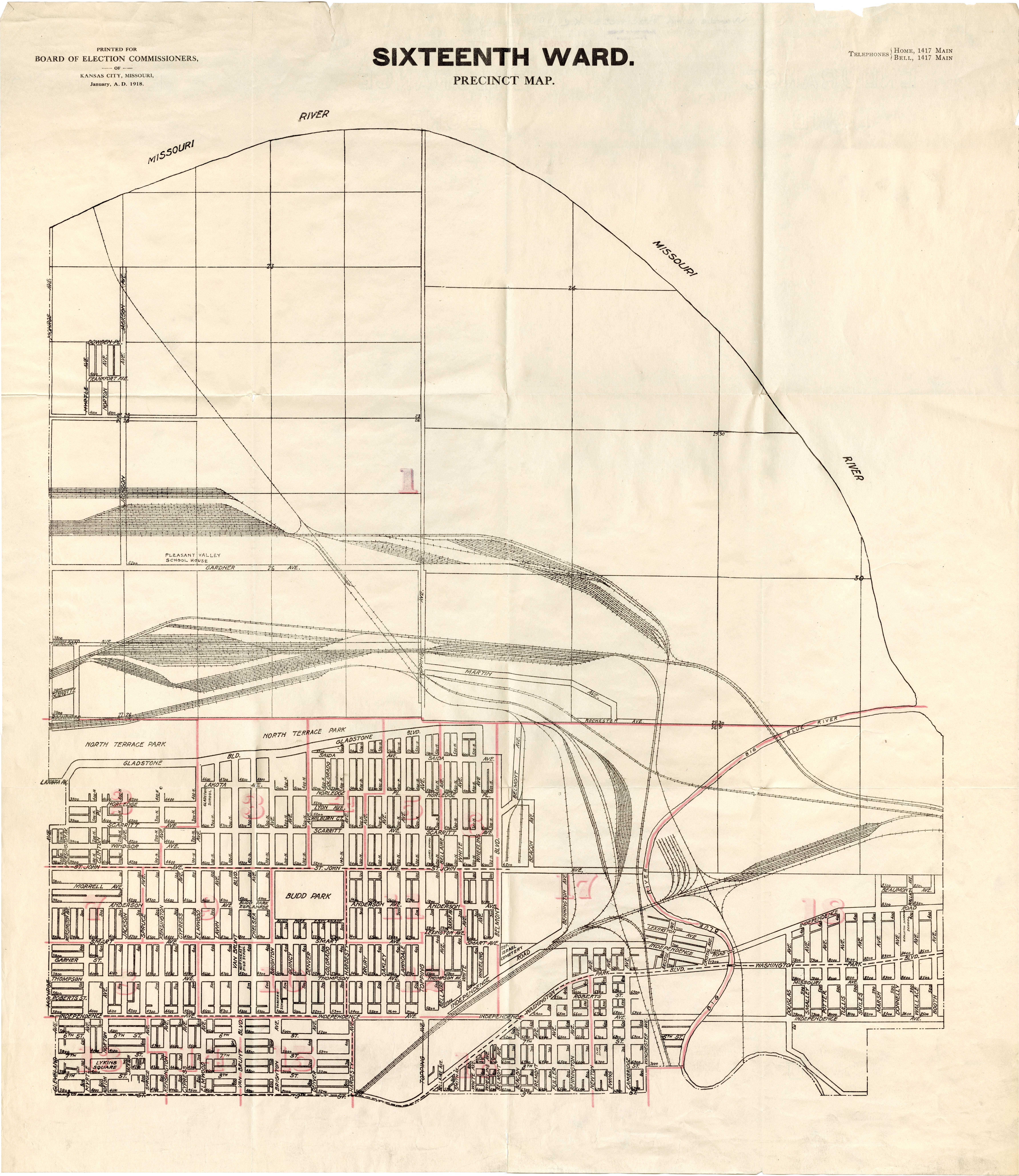
1918 Precinct Map, 16th Ward
Description:
Map showing the boundaries of precincts as defined in 1918 for the sixteenth ward of Kansas City, Missouri. This ward is bounded by the Missouri River to the north, Monroe Avenue to the west, 9th Street to the south, and eastern city limits to the east.
Genre:
Date:
1918
Subject:
Owning Organization:
Modern Location:
Kansas City, MO
Neighborhood:
Organization:
Rights Statement:
Images and texts may be reproduced without prior permission only for purposes of temporary use, private study, scholarship, or research. Those using these images and texts assume all responsibility for questions of copyright and privacy that may arise.
Collection Title, Call or Box Number:
MVSC 099.7 K16 1918
Digital Object Identifier:
MVSC-0997-K16-1918-0016
