
Circa 1928 photograph with frontal and side view of Burnap-Meyer, Incorporated, a printing company; located at 1021 McGee Street.
Communities and Neighborhoods
Image Gallery
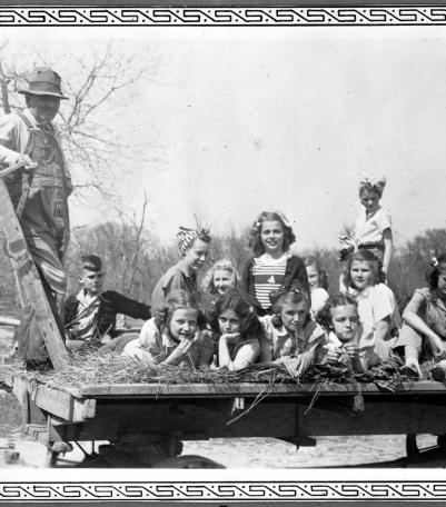
Photograph of a group of Campfire Girls riding on a hayrack at Schutzel Farm circa 1935.

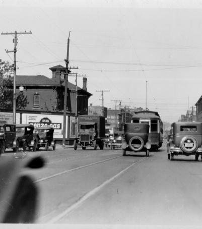
This photograph was taken looking west on 15th Street (now Truman Road) just east of Holmes Street in Kansas City, Missouri.

Photograph of a trolley car traveling along the Strang Line interurban railway tracks in the early 1900s.
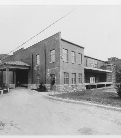
Circa 1930 photograph with frontal and side view of City Ice Company of Kansas City, Plant No.

Circa 1930 photograph with an aerial view of the municipal wharf on the east side of state line in Missouri, opposite the airport.

Photograph of boys reading and studying in the library at the Boys Hotel at the southeast corner of Admiral Boulevard and Flora Avenue.
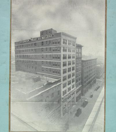
Circa 1928 photograph with full frontal and side view of the Pioneer Trust Company.
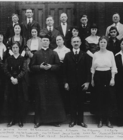
Photograph dated between 1916-1920 of the Cathedral of the Immaculate Conception Choir posed at the entrance to the Cathedral on the south side of

Circa 1920s photograph looking northeast with full frontal and partial side view of the J. W. Jenkins Sons' Music Co.
Photograph with full street level, exterior view of the First Presbyterian Church, once located at the southwest corner of Pennsylvania Avenue and
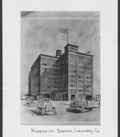
Circa 1928 drawing with frontal and side view of the Ridenour-Baker Grocery Company, located at the southeast corner of St Louis Avenue and Mulberr