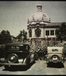
An autochrome photograph of two automobiles parked next to a bed of flowers in the Country Club Plaza at the southeast corner of Alameda Road (now Nichols Road) and Central Street. This vantage point faces north-northwest towards the building at the northeast corner of Alameda and Central.
Missouri Valley Special Collections, Kansas City Public Library
Displaying 1405 - 1416 of 1502
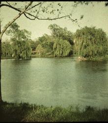
An autochrome photograph looking east over Lake Hiwassee in the Indian Hills subdivision.
An autochrome photograph of H. A. Fowler's residence, taken from the east. Fowler was president of the Fowler Commission Company.
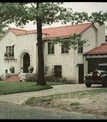
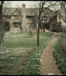
An autochrome photograph of Frank M. Bernardin's residence, taken from the southeast in the summer of 1932. Bernardin was district manager of the General Electric Supply Corporation.
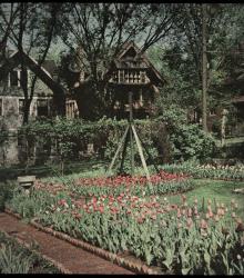
An autochrome photograph of Lucian Rosenwald's tulip garden. This vantage point faces west-northwest with the house at 4309 Campbell Street in the left background. Rosenwald was an office manager for a real estate company.

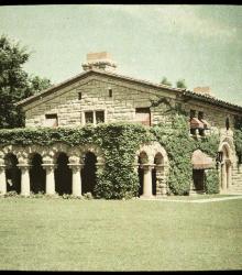
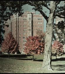
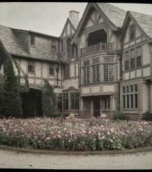
An autochrome photograph of R. A. Long's residence, taken from the southwest. Long was co-founder of Long-Bell Lumber Company.
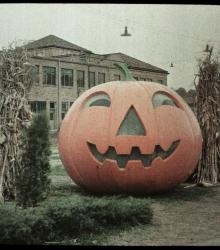
An autochrome photograph of a large decorative Halloween pumpkin in the Country Club Plaza on Alameda Road at Central Street.
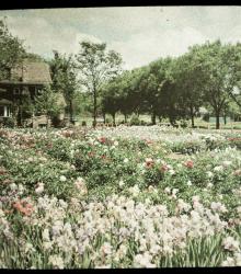
An autochrome photograph of George Cope's "Rainbow" Garden of peonies, iris, and poppies, taken looking north. Cope was co-owner of Cope & Sons, a carpentry company. This property was situated on the west side of Oak Street, just north of Brush Creek before the waterway was diverted to its current location.
An autochrome photograph of Fred Wolferman's driveway and the rear of his house. Wolferman was founder of Wolferman's Grocery Stores.
An autochrome photograph of the first flowers of Spring, 1933 in the front yard of Clarence E. Shepard, architect.
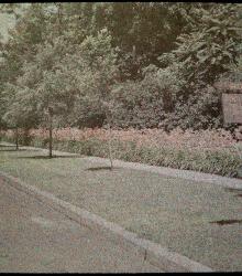
An autochrome photograph of lilies growing along Gregory Boulevard by the property of George W. McClelland, lawyer. This vantage point faces west on the north side of Gregory Boulevard between Cherry Street and Holmes Road.