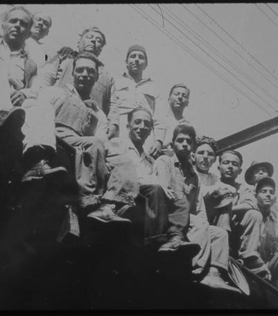
Undated photograph of unidentified children and teenagers from the Mexican community in Kansas City, Kansas.
Communities and Neighborhoods
Image Gallery
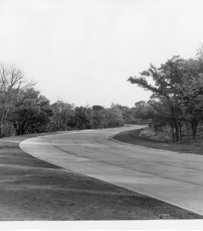
Yates Drive, which provided a new entrance to Swope Park from the north, Kansas City, Missouri, ca. 1930s.
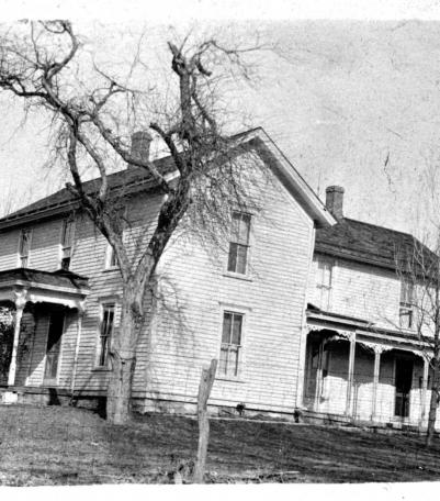
Photograph of the Perry Cross home, located at 4806 Highway 50, near the Shawnee Indian Mission area circa 1925.
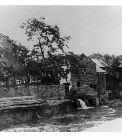
Circa 1920 photograph with full view of Watts Mill including view of Indian Creek and rock ledge, Dallas, Missouri.
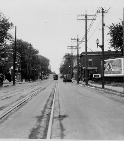
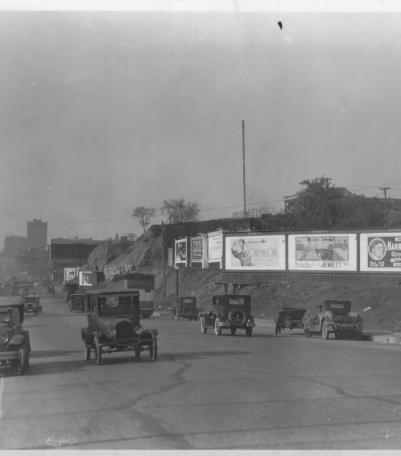
This photograph was taken looking east on 12th Street just west of Park Avenue.
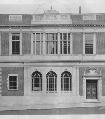
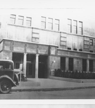
Circa 1928 photograph with full frontal view of the Kansas City School of Law.
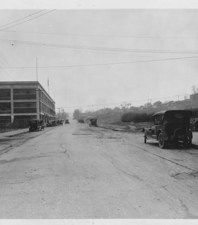
Circa 1925 photograph looking south on Winchester Avenue from just north of the intersection of Winchester and 10th Street.
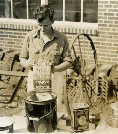
Photograph of Dan Porterfield, a Future Farmers of America participant, preparing paint outside Shawnee Mission Rural High School in 1940 or 1941.
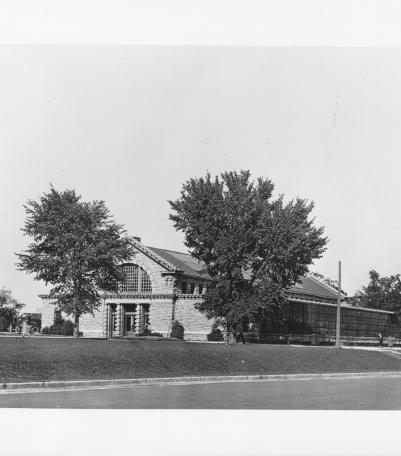
Circa 1930 photograph with slide description: "Zoological building; Swope Park, Kansas City, Mo."
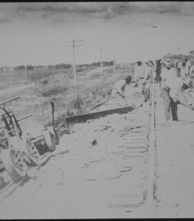
Undated photograph of unidentified railroad workers in Kansas City, Kansas.
Exterior view of back entrance to Pla-Mor Ballroom, once located at 3142 Main Street, no date. Source: Art McClure/Jennie Bell Peters.
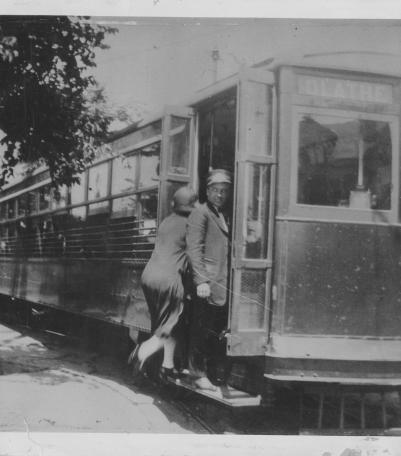
Photograph of a woman boarding a Strang Line train, with a motorman standing on a step looking to the right, circa 1930.

Circa 1925 photograph with full view of the second Saint Francis Seraph Catholic Church, located at the northeast corner of Martin Avenue and Wyman
This photograph was taken looking north on McGee Trafficway from just south of 24th Street (now Pershing Road) in Kansas City, Missouri.
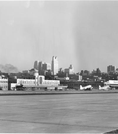
Photograph with view of the terminal building at Municipal Airport, looking toward the southeast with the Kansas City skyline in the background.

Photograph with an exterior view of Longan School located at the northeast corner of 39th Street and Warwick Boulevard.